

-
 State Geography/Facts
710
Total Study Cards -
 State Geography/Facts
270
U.S. & State Demographic/Data Maps -
 State Geography/Facts
38
Q & A Match Games -
 State Geography/Facts
100
State Flag Photos
& Hundreds of Illustrations
 U.S. State Study Cards
K-ware Geography – U.S. States study cards is a very
comprehensive collection of state geography, data, and historical facts. It includes
six knowledge categories: State Flags, Locations, Shapes, Capitals,
General Facts, and
Historical State Facts.
In addition to 710 study cards,
this program has over 270 U.S. and state demographic/data maps that
are displayed on the full computer screen. Many of these
colorful maps are from the U.S. Census Department. Data
includes state statistics, population changes, counties, etc.
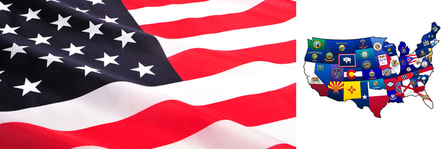
In the state flag category, each card is a state flag with a
full screen, high resolution close-up of the state flag emblem and
you are asked to identify the state. The location category shows a
U.S. map with one highlighted state to identify, and the shapes category shows
a state shape to identify..
If you wish to study states within a certain region, you can select
any of nine regions and only cards in that region will show.
U.S. STATE STUDY CARDS - SPECIAL FEATURES
- 710 U.S. State study cards
- 6 Knowledge categories: State Flags, Locations, Shapes, Capitals, Facts, and Historical State Facts
- Over 270 U.S. and State demographic/data maps (full screen display)including:
- 14 Population maps
- 5 Ethnicity maps
- 50 State demographic data maps
- 50 State county population maps
- 50 State county population change maps
- 50 State county maps
- 50 State Core Based Statistical Area (CBSA) region maps
- Language map showing primary household language other than English
- Median Income map
- 100 State flag photos (50 flags and 50 flag emblem close-ups)
- Ability to study by each of nine regions
- 38 Q&A Match games
- To view other features common to all K-ware study cards click here
Software Views
State Features
TMT Initiative
Today Makes Tomorrow (TMT) is a fund raising initiative for students and your local charities. It is an effort to help students raise funds for school clubs, extracurricular activities, and class projects. It is also intended to help you support your local community charities. Learn more